Two wheelsBerlin
Renting an e-bike for the Mauerweg
Apr–Oct
The Mauerweg runs a full circle around the old West Berlin, and almost nobody rides it in one day. What surface you are actually on, how far a rented battery goes once wind and cold are in the sum, which S-Bahn stations let you cut the loop into halves, and the two sections worth riding if you only ride one.
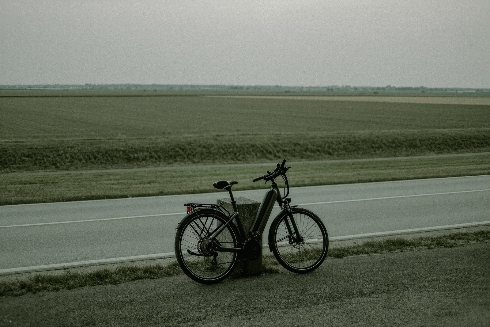
The trail starts wherever you join it, which is the first thing to understand about it. It is a loop, way-marked in both directions, tracing the line the wall took around West Berlin — through the middle of the city at Bernauer Strasse, then out into potato fields, pine plantation, allotment colonies and the edge of Potsdam. About 160 kilometres, and the great majority of people who set out to ride it all in one go do not.
An e-bike changes that arithmetic, but only if you rent the right one and understand what the battery is actually up against.
The surface is the whole equipment decision
Ride the central sections and you will conclude the trail is a paved cycle path. It is not. The former customs patrol road survives for long stretches, and it is built from perforated concrete slabs — heavy rectangles with round holes cast through them, laid end to end with a joint every metre. On 32 mm tyres this is a fifteen-kilometre dental appointment. On 47 mm tyres at moderate pressure it is merely rough.
| Section | Rough surface | What it wants |
|---|---|---|
| Nordbahnhof to Wollankstrasse | Setts in places, otherwise paved | Any bike |
| Frohnau to Hennigsdorf | Patrol slabs, forest sand | 40 mm plus |
| Staaken to Gross Glienicke | Patrol slabs, long open stretches | 40 mm plus, and wind |
| Sacrow to Griebnitzsee | Lakeside gravel, some tarmac | 38 mm plus |
| Teltow to Lichterfelde | Mostly paved canal-side path | Any bike |
| Rudow to Schoenefeld | Paved, airport perimeter | Any bike |
| Treptow to the centre | Urban, setts, tram tracks | Care at junctions |
Ask for the widest tyre the shop has. It costs nothing to request when you book and it is impossible to change on the day, which is the same rule that governs every bike rental anywhere.
Watt hours, wind and the northern half
Shops quote range. Range is a number produced in still air at fifteen degrees by a light rider on flat tarmac in the lowest assist setting, and none of that will be true of your day. Ask instead for the capacity in watt hours and work from there: a mid-size battery in the region of 500 watt hours realistically covers 60 to 100 kilometres, and you should plan on the bottom of that band.
Three things eat it faster here than people expect.
Wind. The western and northern sections cross genuinely open country around Staaken, Falkensee and Schönwalde, with nothing between you and the horizon. The prevailing wind is from the west, which means the clockwise rider gets pushed along the north and fights it home along the south, and the anticlockwise rider gets the reverse. Neither is wrong; pick based on where you want the hard hour.
Cold. Below roughly ten degrees a lithium pack gives back noticeably less, which is why an April attempt at the full loop goes worse than the same ride in June. More on cold-weather kit in winter cycling and what to rent for it.
The slabs themselves. Rolling resistance on a jointed concrete surface is substantially higher than on asphalt, and the motor makes up the difference out of the battery rather than out of your legs.
There is no charging infrastructure along the route worth planning around. If the shop will rent a second battery, take it; if it will lend the charger, put it in the bag and treat a long lunch somewhere with a socket as part of the plan.
Cutting the loop into rides that work
The route crosses the rail network in enough places to be treated as several one-way rides rather than one circle. A workable two-day version:
- Nordbahnhof clockwise to Hennigsdorf, around 40 km, through the memorial strip, along the northern edge and out into Brandenburg. Train back from Hennigsdorf.
- Hennigsdorf to Griebnitzsee, around 55 km, the wildest part, crossing Staaken, Gross Glienicke and the Havel lakes. This is the section that needs the tyres and the battery.
- Griebnitzsee to Lichtenrade, around 35 km, canal-side and suburban, easy riding.
- Lichtenrade back to Nordbahnhof, around 30 km through Rudow, the airport perimeter at Schönefeld and Treptower Park, finishing on the urban section along the Spree.
Days one and two, or two and three combined, are the two halves most people actually ride. If you have a single afternoon, do section four in reverse and finish at the memorial: the trail makes far more sense when the last thing you see is the piece of it that is still standing.
If you only ride one part
Two candidates, for opposite reasons.
The Griebnitzsee to Wannsee stretch, through Klein Glienicke and along the water, is the pretty one: lake, woodland, villas, bridges, and a border line that ran straight through gardens. It is about 15 kilometres, mostly rideable on any bike, and the easiest of the lot to reach.
The Bernauer Strasse section is short, entirely urban, and the only place on the loop where the ground actually explains itself, with the preserved strip, the watchtower and the marked footings running up the middle of the street. It takes an hour, including stopping.
What is not worth the effort is the airport perimeter around Schönefeld on a hot Saturday: exposed, loud, hemmed in by fencing, and long. Ride it if you are completing the circle. Do not ride it as a day out.
For flatter, quieter riding away from the city entirely, the country beyond the loop is better again, and easier on a light bike than an e-bike — see gravel and road bike rental for Brandenburg. And if the plan is a week of general riding rather than one long trail day, the comparison worth running first is a shop rental against the sharing apps, because an e-bike held for seven days is priced very differently from an e-bike unlocked forty times.
What to check before you book
- Ask for the battery capacity in watt hours, not the advertised range. Range is a marketing figure; watt hours are a fact you can plan with.
- Confirm whether the shop will lend a second battery or a charger, and what it costs. Neither is standard and both change the day.
- Ask for tyres of at least 40 mm. The old patrol road is perforated concrete slab, and narrow tyres drop into the holes.
- Check the motor cuts assistance at the standard pedal-cycle limit and that the bike is treated as an ordinary bicycle. Faster classes carry separate licence and insurance rules that are set nationally, so verify before you ride.
- Confirm the return time in hours, not as "end of day". A 160 km loop against a return deadline is how people end up on a train with a dead bike.
- Get the shop to fit a rear rack and a bag. There is nowhere to buy anything on the northern sections.
Questions people actually ask
- How long is the Mauerweg and can it be done in a day?
The way-marked loop is roughly 160 kilometres. On an e-bike a fit rider can complete it inside a long summer day, but the battery is the limit rather than the legs, and one standard battery will not do it. Most people split it into two days, or ride a half and take the S-Bahn back.
- Is the whole route asphalt?
No, and this is the thing people get wrong. Long stretches follow the old customs patrol road, which is laid in perforated concrete slabs with a rough joint every metre or so. Other sections are granite setts, forest sand or gravel. A city e-bike on 32 mm tyres is unpleasant on all three.
- How far will one battery take me?
On flat ground in mild weather, a mid-size battery of around 500 watt hours will usually cover somewhere between 60 and 100 kilometres, and the low end of that is what you should plan for. Headwind on the open western sections, cold below about ten degrees and a heavy load all shorten it, and assistance on rough slabs uses more than on smooth tarmac.
- Can I take the bike back on the S-Bahn if the battery dies?
Usually yes, with a bicycle ticket and outside the busiest commuter hours, and the ring and radial lines cross the route at many points. It is a workable fallback rather than a plan, because weekend trains fill with bikes in summer and staff can refuse carriage when a carriage is full.
- Is the route signposted well enough to ride without a map?
Mostly, but not everywhere. The markers are consistent through the city and along the southern edge, and they thin out where the trail crosses into Brandenburg farmland and small settlements. Carry an offline map, because the two or three places where the signs vanish are precisely where the alternatives all look plausible.